Drones and Geographic Information Systems

In government we aim to drive down costs, reduce our action times and support decision making and policy decisions that improve the overall quality of life for Utah residents. Geographic Information Systems (GIS) are typically thought of as data plus analytics equals data driven decisions. The Division of Oil, Gas and Mining uses GIS to extend that equation where data plus analytics plus data driven decisions equals improved service delivery to both the public and to industry. In using GIS we are able to take limited resources and very easily and strategically fix problems where and when they occur, which extends our limited resources and improves our efficiencies. 

When Division staff didn’t have the capability to fly drones for data acquisition, they were limited to conducting their work using traditional methods. They would use pen, pad, and cameras to collect data and then come back to the office to manually enter it into a computer database. Staff has now begun using Esri GIS software, web GIS and geodatabase management applications on mobile devices to minimize time and errors.

By implementing database standardization and drone technology, staff are now generating data sets that can be archived and used to accurately document existing conditions for oil, gas, and mining activities. This data has reduced disputes and provided data that could be used for litigation matters.

Web based applications help regulate, innovate, and educate our staff and the public so they can stay updated and informed with natural resource activities in Utah. Staff are focused on centralizing data and publishing it to ArcGIS Online, allowing them to spend more time ensuring responsible development of natural resources and environmental protection. The public can be more confident that tax payer dollars are being used responsibly and consistently.

We are building geodatabases for each of our programs- Coal, Minerals, Oil and Gas, and Abandoned Mine Reclamation. We are working with our existing databases to produce web maps, applications, and hosted feature layers. By utilizing these types of databases we are hoping to aggregate, integrate and standardize our geospatial data across the division. We are also leveraging drones and remote sensing to provide much needed insight and documentation to ensure compliance rules are being met and best management practices are being applied to our lands in Utah. The derived drone data will be published to ArcGIS Online for the inspectors to view and make better land management decisions.

Senior GIS Analyst Tom Thompson and Director John Baza were presented with the prestigious SAG award, presented at the annual ESRI conference in San Diego this month. This award is given to .01 of 1% of ESRI users. The award was given for Tom’s presentation Inquiring Mines want to know: Leveraging Location Intelligence for Mine Inspection, incollaboration with Engineering Technician Michael Van Hatten, Associate Director Dana Dean, and Division Director John Baza.

Photo L to R: Division of Oil, Gas and Mining Senior GIS Analyst Tom Thompson, Esri Founder and CEO Jack Dangermond, Division of Oil, Gas and Mining Director John Baza

Minerals Program Map

Minerals Program staff and Division GIS coordinator created an interactive GIS-based map featuring all active and retired hard rock mine permits throughout the state. The map is located on the Minerals homepage https://minerals.ogm.utah.gov/default.html

Visitors to the site can use tools to determine mine location, land owner, operator, mine type, township, section, range, geology, and wildlife habitat. Another feature allows users to calculate the mine acreage and verify operation is within permit limits. 

Tutorials on how to use the mapping features are available on the website. These tools are intended to provide users more in-depth information on Utah’s mineral operations and education them on mines near them. 

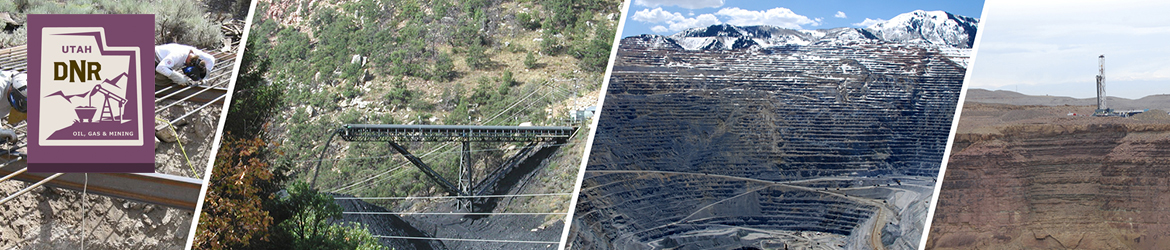
The minerals program regulates all non-coal mining operations in the state with a few exceptions. From Kennecott Copper, the largest open-mined pit in the state to small operations, staff works to ensure mining operation procedures are followed. This includes verifying operators work within permit boundaries, mining operations pose no threat to public safety or the environment and assuring appropriate fees/bonds are collected for reclamation.

Utah contains over 500 different minerals and ore deposits that hold close to 30 different metals including copper, gold, and silver. Currently there are 600 permitted mineral operations statewide. In 2015 data from the U.S. Geological Survey ranked Utah 8th in the value of non-fuel mineral production, accounting for approximately 3.7 percent of the United States total.